Travel guide · Esquel and the steppe
Esquel Peri-Urban Trails
Esquel has a nearby trail network including Plaza de los Cerros, Cipresal, La Zeta viewpoints, Cerro El Tero and Don Celso. It offers mountain walking without a long excursion.
Information checked against official sources
Why visit this place
Esquel has a nearby trail network including Plaza de los Cerros, Cipresal, La Zeta viewpoints, Cerro El Tero and Don Celso. It offers mountain walking without a long excursion.
Routes differ in difficulty and exposure. Choose by checking elevation, time, signs and weather, and share your itinerary for longer options.
Three ways to experience it
Choose routes of different lengths
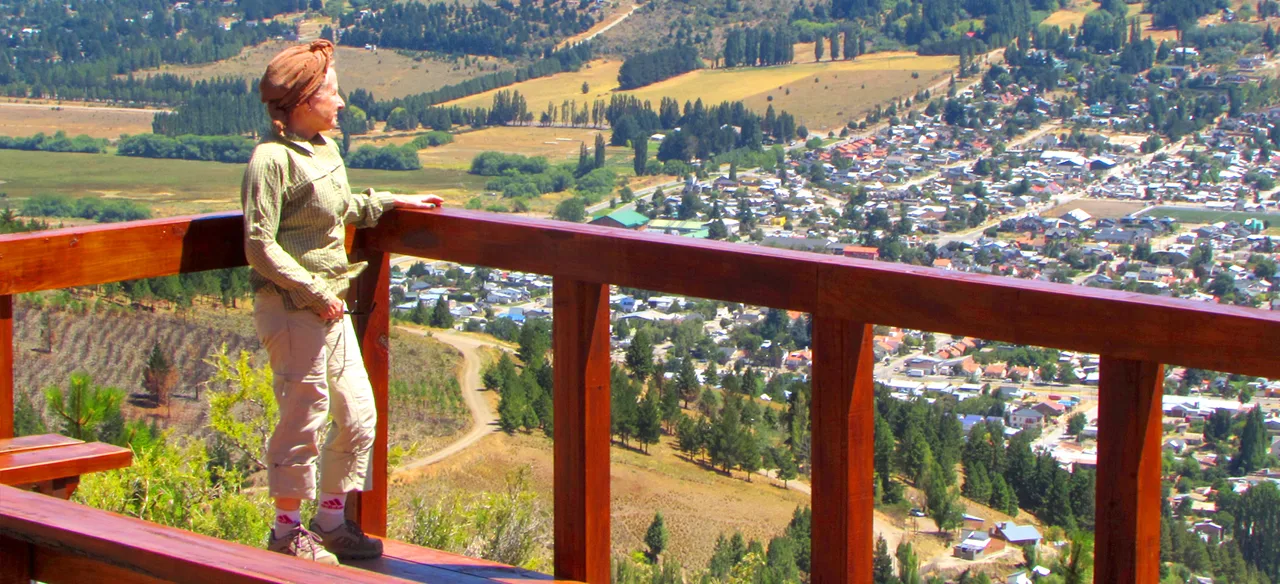
See Esquel from natural viewpoints
Connect town, steppe and transition forest
Images to shape your route
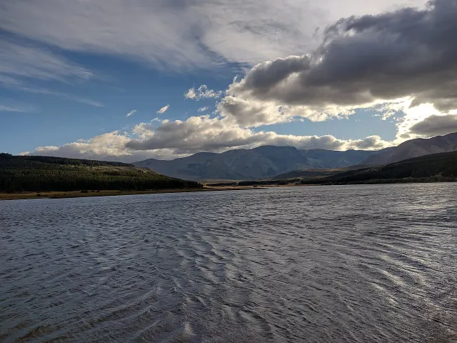
The main photograph shows this destination. Supporting images feature clearly labelled nearby stops.

Plan your visit
Practical details for an initial plan. Access, hours and conditions can change.
Download the route, carry water and avoid late starts or weather alerts.
Map and directions
Open directions from your location. The marker is a reference: confirm the exact access point and open areas before setting out.
Directions in Google MapsCheck official informationFrequently asked questions
When is the best time to visit?
Year-round · weather dependent
How much time should I allow?
1–5 hours
Can I visit independently?
The indicated visit type is: Different difficulty levels. Confirm with the official source whether admission, booking, a guide or a licensed operator is required.
What should I check before leaving?
Check weather, road or trail conditions, opening hours, bookings and current restrictions with the official source.
An editorial guide by Valle Florido based on official tourism sources and credited material. It does not replace daily road, weather or protected-area reports. Download the route, carry water and avoid late starts or weather alerts.